Country Profile
Bangladesh
Bangladesh is Located in the north-eastern part of South Asia. The Himalayan mountain range lies to the north of Bangladesh, while in the south lays the Bay of Bengal. It is bordered by West Bengal to the west, and by the hilly and forested regions of Tripura, Mizoram (India), and Myanmar to the east.
These picturesque geographical boundaries frame a low lying plain of about 148,460 square kilometer, criss-crossed by innumerable rivers and streams. Mighty rivers are Padma (Ganges), Brahmaputra (Jamuna), Meghna and Karnafuli. Bangladesh offers many tourist attractions, including archaeological sites, historical mosques and monuments, Cox's Bazar (renowned for its very long natural sandy beach and widely described by Bangladesh sources as the world's longest natural sea beach), picturesque landscape, hill forests and wildlife, rolling tea gardens and tribes. The rich flora and fauna and colorful tribal life is very enchanting.
People's Republic of Bangladesh
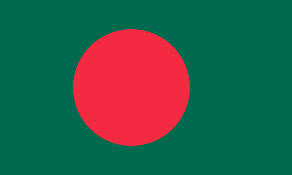
Bangladesh - Fast Facts
Official Name
People’s Republic of Bangladesh
Nationality
Bangladeshis
Capital City
Dhaka
Standard Time
BST (GMT +6 Hours)
Dialing Code
+880
Weekends
Friday & Saturday
Demography
Population Overview
- Population: Approx. 169.8 million (2022 Census)
- Growth Rate: 1.37% (2022)
- Literacy Rate: 74.66% (2022 Census)
- Language: Bangla (95%). English is widely spoken.
- Religion: Muslims 91.0%, Hindus 7.9%, Others 1.1%
Age Structure & Ethnicity
-
Age Structure (Est.):
0-14 years 26.6%15-64 years 67.6%65+ years 5.8%
- Ethnic Groups: Bengalis (~98%), Small ethnic groups (~2%)
Geography
| Geographical Location | Latitude between 20°34′ and 26°38′ North, Longitude between 88°01′ and 92°41′ East |
|---|---|
| Total Area | 148,460 km² |
| Boundaries | North: India (West Bengal and Meghalaya) West: India (West Bengal) East: India (Tripura and Assam) and Myanmar South: Bay of Bengal |
| Coastline | 580 km |
| Terrain | Mostly flat alluvial plain; hilly in southeast |
| Principal Rivers | Padma, Meghna, Jamuna, Surma, Brahmaputra, Karnaphuli, Teesta, Sitalakhya, Rupsha, Madhumati, Gorai, Mahananda etc. |
Climate
Tropical/subtropical monsoon climate, with hot, humid summers, a pronounced monsoon season, and relatively mild winters.
Economy
- Recognitions: Bangladesh is one of the members of the Developing 8 (D-8).
- Principal Crops: Rice, Jute, Tea, Wheat, Sugarcane, Pulses, Mustard, Potato, Vegetables.
- Principal Industries: Ready-made garments & textiles (one of the world's leading apparel-exporting countries), Tea, Ceramics, Cement, Leather, Jute (one of the world's leading producers and exporters), Chemical, Fertilizer, Shrimp Processing, Sugar, Paper, Electric and Electronics, Medicine, Fishing.
- Principal Exports: Garments, Knitwear, Frozen Shrimps, Tea, Leather and Leather products, Jute and Jute products, Ceramics, IT Outsourcing, etc.
-
Distribution of Labor (Est.):
35.3%
Agriculture20.9%
Industry43.8%
Services/Others
Historical Dates
- Independence Day: 26th March
- Victory Day: 16th December
- Martyr’s Day: 21st February (Also recognized as the International Mother Language Day)
Global Ranks
- 8th largest country in the world by population
- 4th largest Muslim population in the world
- One of the world's leading apparel exporters
- One of the world's leading producers of Jute
- Home to the Sundarbans, the largest contiguous mangrove forest in the world